
Hiking Southern Indiana: 8 Fall Hikes Near Jeffersonville
From the Ohio River Greenway to the Knobstone Trail, here are eight late-fall hikes within easy reach of Jeffersonville, plus a heads-up on hunting season and fees.
November 12, 2026 · 7 min read
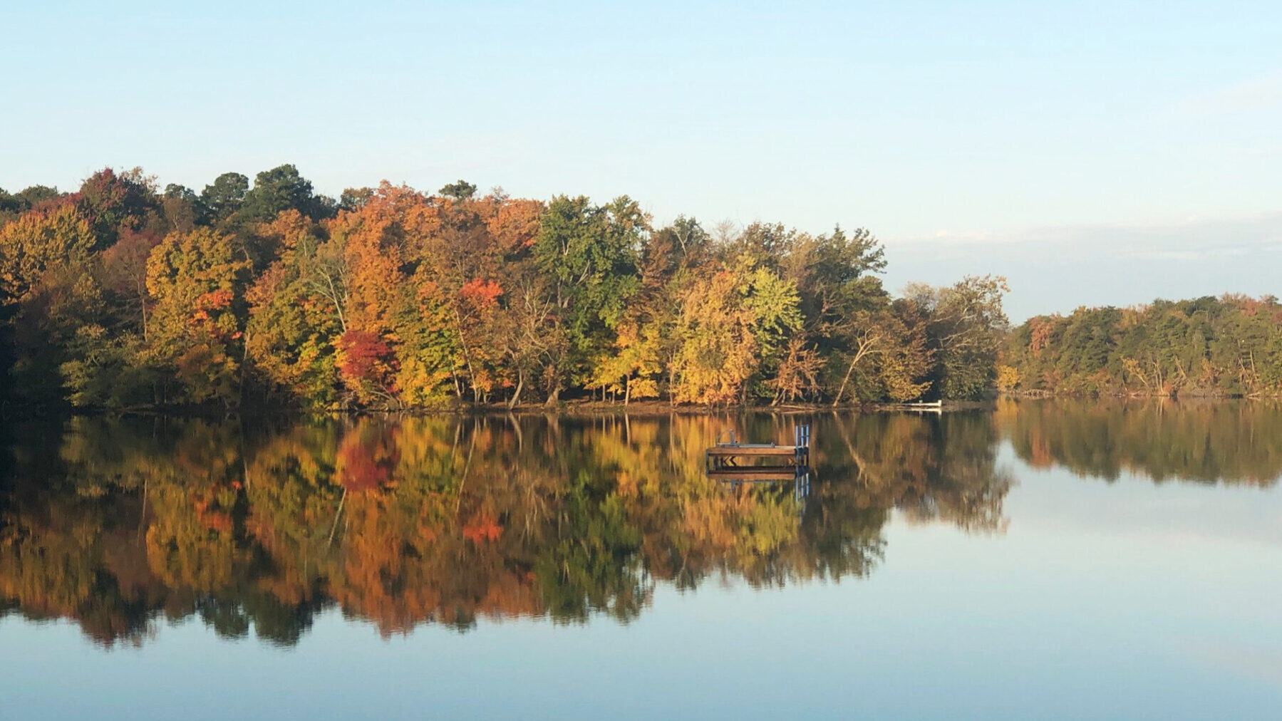
By mid-November most of the color has come down around here, and honestly, that's one of the best times to get out. With the leaves gone you can see the ridgelines, the creek valleys and the river from spots that are hidden all summer. The trails are quieter too, and you won't be wiping sweat out of your eyes.
Here are eight hikes we like, starting right on the Jeffersonville riverfront and working outward. All of them are roughly 45 minutes or less from downtown Jeff. Before you go, read the hunting season note near the end. It matters this month.
Close to home: the riverfront
Ohio River Greenway
If you haven't been on the Greenway since this summer, it's worth another look. After more than two decades of planning, the full 7.5-mile Ohio River Greenway was finished with a ribbon cutting on June 5. It's a paved path along the river linking Jeffersonville, Clarksville and New Albany. One of the last pieces was a 0.35-mile connection under I-65 that ties Jeff's trails to the paths near Falls of the Ohio State Park.
It's flat, so it isn't much of a hike. It is a good after-work walk with skyline views, though, and you can do as much or as little of it as you like.
Big Four Bridge
The old railroad bridge runs about 2,525 feet between Jeffersonville and Louisville's Waterfront Park, and it's been open to walkers and cyclists since its conversion in 2013. Add the ramps on both ends and a round trip works out to roughly two miles. It gets windy up there in November, so bring a layer you can zip up.
Falls of the Ohio State Park, Clarksville
The Greenway takes you right through Falls of the Ohio, so it's easy to add to a riverfront walk. The park is known for its 390-million-year-old Devonian fossil beds, which the DNR says are among the largest exposed beds anywhere. Birders have recorded more than 270 species here.
Some practical details from the park's page:
- Grounds: open daily, 7 a.m. to 11 p.m.
- Parking: $2. The state park annual pass covers parking but not the interpretive center.
- Interpretive center: $9 for ages 12 and up, $7 for ages 5 to 11, and free under 5.
The DNR says August through October is the best time to reach the fossil beds because that's when the river runs lowest. By late November how much rock you can see depends on the river level. Even when the beds are partly underwater, the riverbank walk is still nice.
Charlestown State Park
If you only do one real hike this month, make it this one. Charlestown State Park is about 8 miles east of I-65 on State Road 62. You get rugged hills, deep ravines and elevation changes of more than 200 feet, with views over Fourteenmile Creek and the Ohio River.
Good picks for fall:
- Trail 4 (2.9 miles, rugged): About halfway around, you're on a bluff more than 100 feet above Fourteenmile Creek. It's especially good once the leaves are down.
- Trail 6 (2.3 miles, rugged): This one follows the top of the river bluff with looks at the Ohio and Twelve Mile Island. Then it crosses a bridge over a natural waterfall and drops down to the old Charlestown Landing site.
- Trail 3 to Rose Island (Trail 7, 0.9-mile loop): Trail 3 starts on a steep, paved 0.6-mile grade down to the historic Portersville Bridge. Across the bridge is Rose Island, a 1920s amusement park that the 1937 flood damaged beyond repair. You'll still find traces of it along the loop. Coming back up that hill is the real workout. If you need ADA help getting to the Rose Island loop, the park office can arrange transportation.
- Trail 2 (1.4 miles, moderate): This shorter loop starts at the picnic area and passes small cascades and rock-bottom streams.
Keep an eye out for Devonian fossil outcrops and karst sinkholes along the way. The park has recorded 72 bird species, and a bald eagle turns up now and then.
Deam Lake State Recreation Area, Borden
Deam Lake centers on a 194-acre lake. It's named for Charles Deam, Indiana's first state forester. The hike to know is Trail 4, the Lake Vista Trail (about 2.5 miles). The DNR calls it the most scenic and most rugged trail on the property. You'll climb steep hills above the lake and reach a rock cutout with a view over the water near the top. It's marked with red blazes. The bottomland stretches can get muddy, or even flood, after rain.
If you want something longer, Trail 3, the Yellow Horse Trail, is a roughly 6-mile loop around the lake. Horses and mountain bikes use it too, so give riders room.
The Deam Lake trailhead for the Knobstone Trail is also inside the property. Take the first right after the entrance and follow the road to the end. It shares a lot with the Buzzard Roost Picnic Shelter.
Clark State Forest and the Knobstone Trail, Henryville
Clark State Forest dates to 1903 and is Indiana's oldest state forest. It's also where the Knobstone Trail, the state's longest footpath, begins. According to Southern Indiana Tourism, the Knobstone runs 59 miles, and 32 of those are in Clark State Forest. For an easier outing, the forest also has the 0.9-mile White Oak Nature Trail and the 1-mile Resource Trail.
Next to the Henryville fire tower there's a picnic area where you can see the Louisville skyline on a clear day. The tower itself has been closed for improvements, so check its status before you plan a climb.
On the Knobstone, check the DNR's conditions page first. As of its October 15 update, conditions were listed as good. The same page notes that a section in Clark State Forest would close temporarily on or shortly after October 13 for forest management work. Paper Knobstone maps sell for $10 at Deam Lake, Clark State Forest and a few other spots. Free PDFs of the north and south halves are on the same page.
O'Bannon Woods State Park, Corydon
Out west in Harrison County, O'Bannon Woods sits inside Harrison-Crawford State Forest along the Ohio River. Two trails to try:
- Ohio River Bluff Trail (1.5 miles, rugged): This loop follows a rocky bluff above the river and comes back up a stone staircase built by the Civilian Conservation Corps.
- Tulip Valley Trail (2 miles, moderate): The first mile from the Hickory Hollow Nature Center is universally accessible.
The park also has a restored, working haypress barn and a pioneer farmstead, so plan to linger. Downtown Corydon is close by if you want lunch afterward. One note: the Stagestop Campground and canoe ramp are closed until further notice.
Across the river: two Kentucky favorites
Jefferson Memorial Forest, Fairdale
At about 6,200 acres, Jefferson Memorial Forest is billed as the largest city-owned urban forest in the country, with more than 35 miles of trail. The Horine Reservation Red Trail is a local favorite at about 5 miles. The Siltstone Trail is the long, hilly option across the knobs. You'll need a free permit from the Welcome Center at 11311 Mitchell Hill Road to hike at Fairmount Falls, according to Wilderness Louisville.
Bernheim Forest and Arboretum, Clermont
Bernheim covers more than 16,000 acres about 25 miles south of Louisville and has more than 40 miles of hiking trails. It's open daily from 7 a.m. until near sunset but closes on Thanksgiving Day. This year that's November 26, so don't make it your post-turkey walk. Admission policies have changed over the years, so check Bernheim's current visitor info before you go.
Before you head out: hunting season and fees
Firearms deer season in Indiana runs November 14 through 29, 2026, according to the Indiana DNR. Muzzleloader season follows December 5 through 20. Hunting is allowed in designated areas at places like Deam Lake and in the state forests. During those weeks, wear blaze orange, stay on marked trails and keep dogs leashed and visible.
On fees: most Indiana state parks and lakes with a gate charge $7 per day for Indiana plates and $15 for out-of-state plates. An annual entrance pass is $50 and covers DNR gate fees all year. That includes parking at Falls of the Ohio but not its interpretive center. If you'll visit Charlestown, Deam Lake and O'Bannon Woods more than a handful of times, the pass pays for itself quickly.
A few more small things:
- Sunset comes early now. Start longer hikes by early afternoon.
- Wet leaves on rock and roots are slick, especially on the Charlestown and O'Bannon bluff trails.
- Charlestown and O'Bannon Woods both have motorized trail wheelchairs available. Call ahead.
Living close to the trails
A lot of us here hike these places on ordinary weeknights, not just on special trips. If you're curious about the area around Charlestown State Park, take a look at homes for sale in Charlestown. For the Henryville side near Clark State Forest, our Acres of Green neighborhood guide is a good place to start. And if the knobs are calling, our local's guide to Floyds Knobs covers that side of the county.
See you on the trail.
